


The department was founded in 1942 under the name Geodesy and Astronomy.
In 1945 the name is changed to Surveying. In 2001, this department is divided into two independent departments, one of them being Geodesy and Geoinformatics.
This department offers the following courses: Surveying for students in Geodesy; Surveying for students of the faculties of Structural Engineering and Hydrotechnics; CAD Systems, Mathematical Processing of Geodetic Measurements, Information Systems in Geodesy, Cadastre, Fundamentals of Geographic Information Systems, Marine Geodesy, Geoinformatics, Basic Notions of Computer Graphics, and Digital Plans and Maps.
Overview
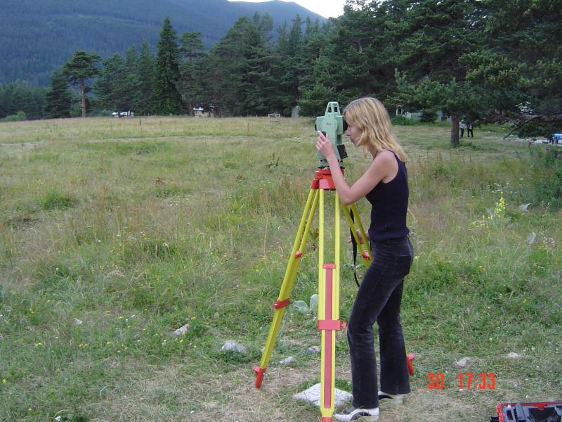
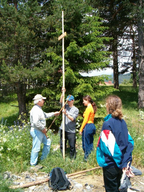
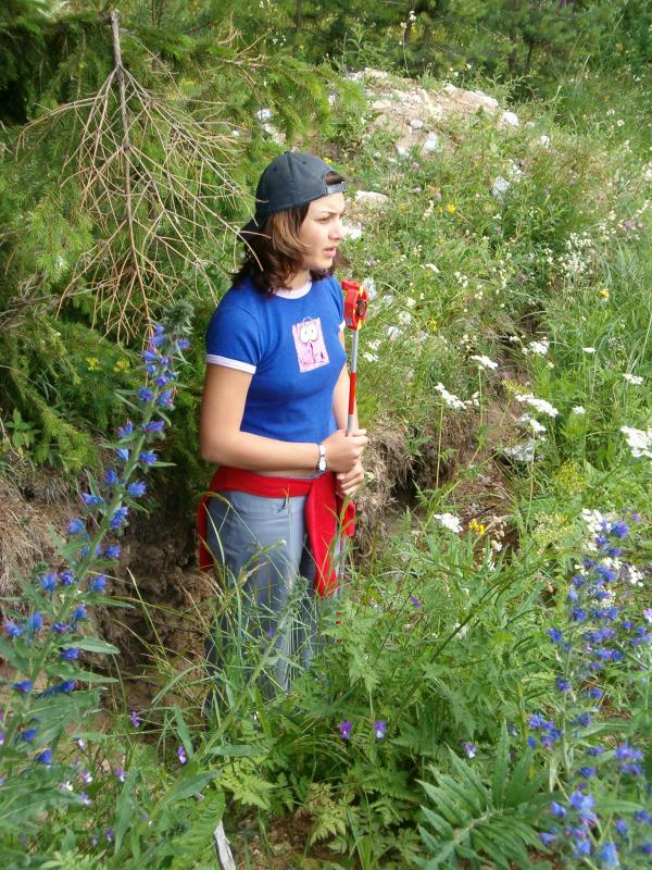
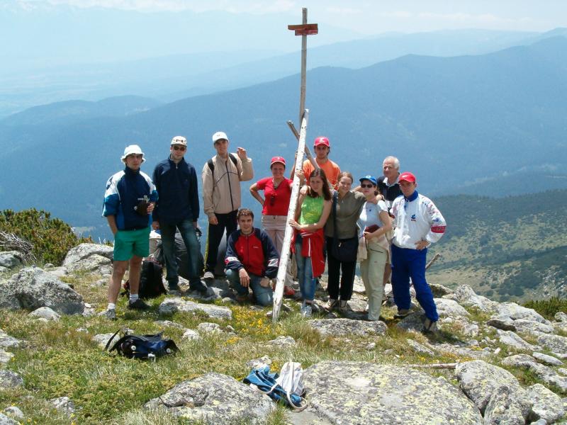
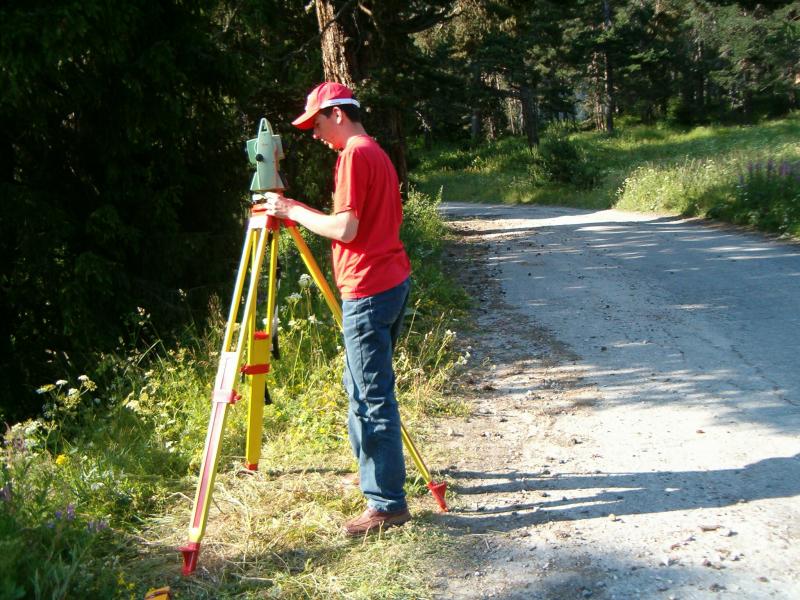
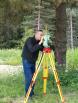
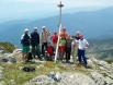
Photo Gallery
