Geodesy regulated profession
ECTS Pack
ECTS University InformationECTS Faculty Information
Geodesy regulated profession
Academic CurriculumAnnotations
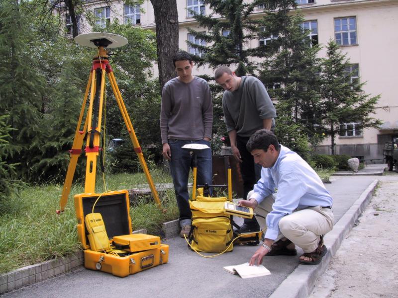
Geodesy is a wide-profile degree programme, allowing surveyors to perform a rich set of activities:
- composition of large-scale and small-scale topographic maps;
- cadastral maps;
- grading plans;
- plats of consolidation;
- space development plans;
- anti-erosion projects for agricultural land;
- land and property valuation;
- seismic and landslide processes studying, etc.
The length of full-time study in Geodesy is 10 semesters, the last one being used for development and presentation of a diploma project.
Практическо упражнение